INTRODUCING
BOOKINGS ON WIKICAMPS
Tallaringa well
 Campground
Description
Information
First discovered by SA explorer Richard Thilwell Maurice during his earlier expeditions, he used the well as a watering point on expeditions between 1897 and 1902, provided valuable detail of South Australia's far west and establishing with a degree of certainess, the locations of many rock holes and native wells. He also made valuable collections of ethnographic materials and photographed the Aboriginal people of the area. His observations of the flora and fauna of the area are greatly valued by biologists. In his 1902 expedition, Maurice travelled north via Tallaringa native well, to Oolarinna in the Everard Ranges. The expedition travelled through the Musgrave Ranges, to Uluru where dray tracks left by Gosses original expedition of the 1870's were still visible after nearly 30 years. From Kata Tjuta Maurice skirted the south side of Lake Amadeus and then to the Cleland Hills. In the Tanami Desert, six of his 14 camels died from eating the poison bush Gastrolobium and the remaining seven were badly affected. By abandoning some of the gear the expedition reached the Sturt Creek station on 25 August 1902 after four months travel. At Wyndham the party had successfully crossed the continent.
The well was dediscovered by Len Beadell during his grading of the Anne Beadell Highway. It is situated approximately 30kms from the western boundary of Tallaringa Conservation Park, on the Anne Beadell Highway and is well sign posted. This is a reasonable camping spot although don't expect too much from the well.
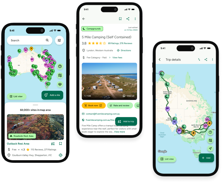
Find this site and more on WikiCamps
Take the ultimate camping companion on your next trip, with these great features:
![]() Explore more than 60,000 sites across Australia with detailed site information at your fingertips
Explore more than 60,000 sites across Australia with detailed site information at your fingertips
![]() Stay in the know with exclusive, insightful reviews from fellow travellers
Stay in the know with exclusive, insightful reviews from fellow travellers
![]() Map journeys, plan your route, and gauge your fuel spend with Trip Planner
Map journeys, plan your route, and gauge your fuel spend with Trip Planner
![]() No signal? No worries! Use offline mode to travel anywhere with WikiCamps
No signal? No worries! Use offline mode to travel anywhere with WikiCamps
![]() Add sites to your collections, search with intuitive filters, and so much more...
Add sites to your collections, search with intuitive filters, and so much more...
Get WikiCamps now!
Download WikiCamps from the App Store on your device.

